LIDAR
PROFESSIONAL DRONE SERVICES. AVIATION-GRADE STANDARDS.
Your projects deserve precision aerial data from experienced aviation professionals.
Our pilots blend commercial aviation practices with advanced UAS technology to deliver better data, safer operations, and reliable results.
PRECISION INSPECTIONS
Cut inspection costs and boost safety. Our pilots capture every detail of tall structures without putting people at risk. Plus, you get organized data that actually helps your team make decisions.
01
Efficiency
Automatically organize photos across the entire project lifecycle – from pre-con to close-out.
03
Communication
Share annotated reports or 360 walkthroughs with your teams and trade partners in real-time.
02
Visibility
Keep a clear record of all structural elements, validate quality of work and detect issues early.
04
Safety
Inspect hard to reach areas, such as roofs and facades, without putting your teams at risk.
Ready to talk to sales?
Reach out for a personalized
demo
Download LiDAR Report
Learn about LiDAR in this free download. Discover complete information on:
How LiDAR works and what it’s used for
How LiDAR helps further business objectives
What sets FlyGuys’ LiDAR service apart
Understanding LiDAR
LiDAR Light Detection and Ranging) is a remote sensing method used to detect objects in real space with a high level of precision and accuracy.
In the UAV LiDAR process, a drone flies over a specified area sending out laser pulses onto a surface at a rate of 100k-3 million pulses per second. After measuring the time it takes for the signal to return, LiDAR Data is electronically compiled with GPS data and Inertial Measurement Unit (IMU) data to create a digital representation of the scanned area in a point file format used by professional surveyors to create a great number of deliverables for their clients.


Benefits for the
estimating team
and beyond
Our Nationwide Pilot Network
We have a nationwide network of licensed, insured pilots available to help capture all types of data including LiDAR, each with a valid FAA Part 107 certification.
DroneDeploy provides the most comprehensive and holistic view of our project sites throughout the whole lifecycle. We finally have a single project management tool for all site documentation in one place.
Austin Lay - STO Group
REALITY CAPTURE MANAGER
DroneDeploy provides the most comprehensive and holistic view of our project sites throughout the whole lifecycle. We finally have a single project management tool for all site documentation in one place.
Austin Lay - STO Group
REALITY CAPTURE MANAGER
Try the platform yourself
PCL Construction
CAMH Redevelopment
Location : Ontario, CA
Property sq ft: 600,000
Total Views : 42
Total
Photos : 45,086
CORE Construction
Emerson High School
Location: Frisco, TX
Property sq ft : 380,000
Total Views : 20
Total
Photos : 9,062
PCL Construction
CAMH Redevelopment
Location : Ontario, CA
Property sq ft: 600,000
Total Views : 42
Total
Photos : 45,086
CORE Construction
Emerson High School
Location: Frisco, TX
Property sq ft : 380,000
Total Views : 20
Total
Photos : 9,062
Take Your
Project To
New Heights
Whether the project takes us to a major metropolitan city, a mid-sized town, or a rural area far away from civilization, we’re ready to deploy FAA-certified pilots and follow stringent safety measures. Connect with FlyGuys for a quote, and let’s explore the right solution for you.
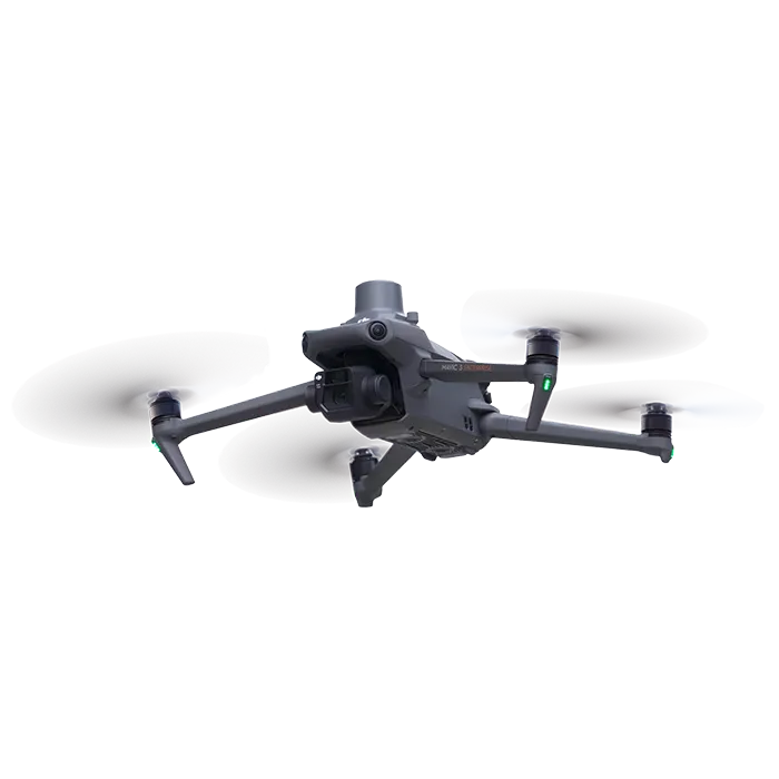
Drones
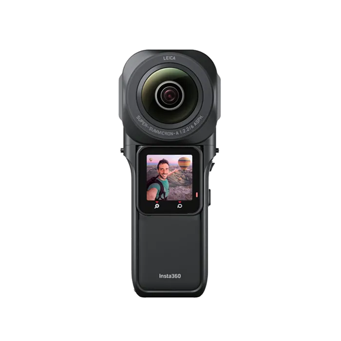
360 Cameras
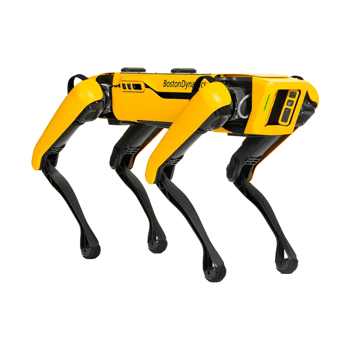
Robotics

Drones

360 Cameras

Robotics
Getting started is simple. Request a demo today.
Getting started is simple. Request a demo today.
Enterprise grade
security and
compliance
Safeguarding customer data is our top priority. We have attained ISO 27001 and SOC 2 Type 2 certifications and adhere to GDPR and privacy shield regulations. Your data is protected throughout its lifecycle, from capture to storage, with in-transit and at-rest encryption. Additional layers of security and privacy controls are available so you can use DroneDeploy across your enterprise.

SERVICES
INDUSTRIES
© 2025 Levoair. All rights reserved.
CA Resident Privacy Notice
Do Not Sell My Personal Information
Privacy Policy
Terms of Service
